

Our favourite Old Man of Coniston walk: a 6.7-mile loop over four summits, the ruins of Coppermines Valley, and a hidden waterfall at the end.
By: Mark Barnes // Last Updated:
The Old Man of Coniston isn’t just a walk to the top and back down, not on this route.
Our favourite way up (and around) is a 6.7-mile loop that bags four summits, threads through the eerie mining ruins of Coppermines Valley, and finishes with a detour to one of the most striking waterfalls in the Lake District.
Rising above the western shore of Coniston Water, the Old Man carries centuries of copper and slate mining scars right up its slopes — a striking contrast to the tarns, ridgelines and sweeping summit views that make it one of Cumbria’s best-loved fells.
We’ve hiked it more times than we can count, using half a dozen different routes. This is the one we keep coming back to.
Old Man of Coniston Walk Overview
- Start / End – Walna Scar Car Park
- Distance – 6.7 miles (10.7 km)
- Elevation – 2,550 feet of ascent and descent
- Walking Time – 4 hours 15 minutes
- Best Time – May, June, September & October
- Difficulty – Medium
This route up the Old Man of Coniston starts and ends at the Walna Scar Car Park, a mile up a single-lane track from Coniston village.
It is 6.7 miles long and has 2,550 feet of ascent and descent. The loop took us about 4 hours of walking, plus an extra hour for lunch at the top of Dow Crag and a few too many photo stops.
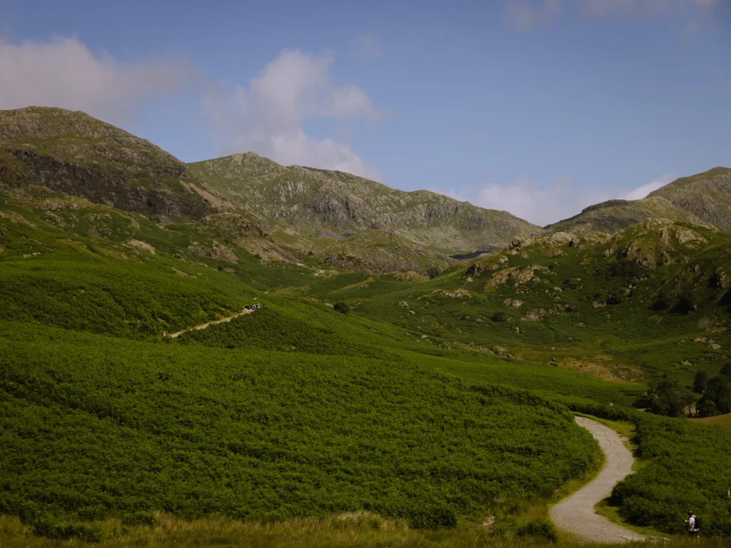
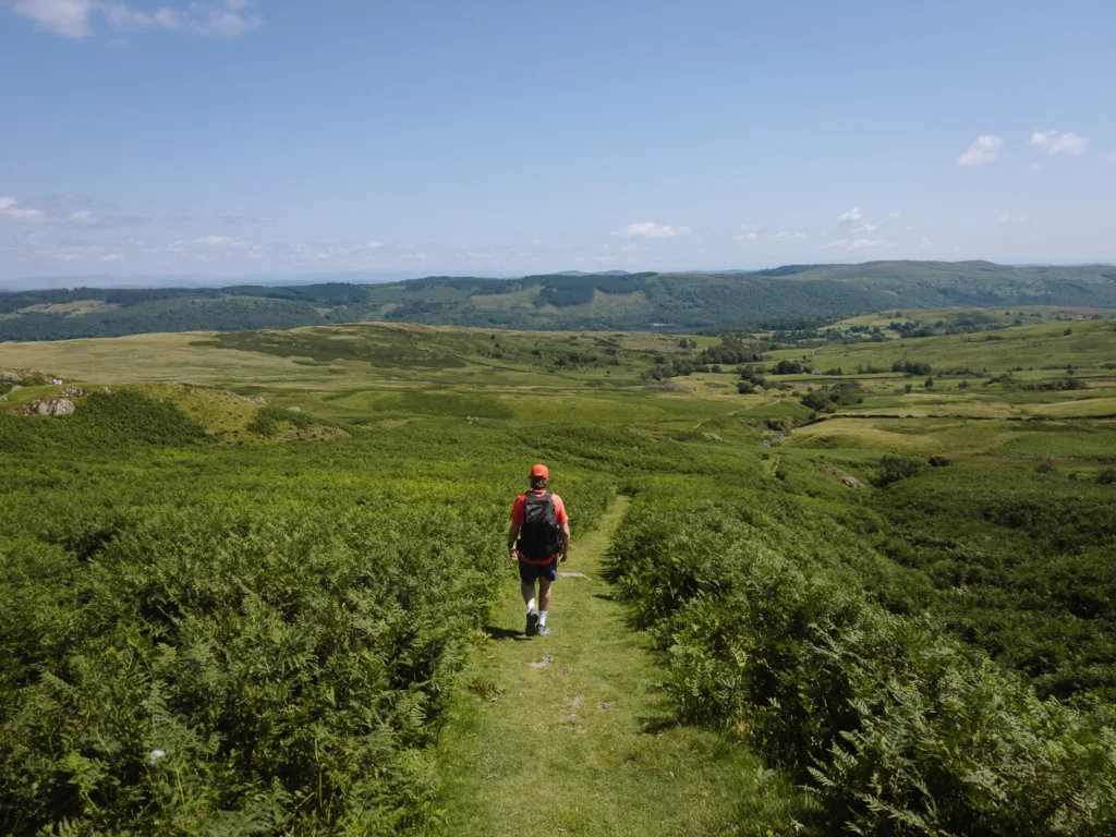
The walk leaves the Walna Scar Car Park heading north through a field of ferns, then turns westwards and ascends steeply through the mining ruins of Coppermines Valley.
Past Low Water, it steepens further, zig-zagging up the shoulder to the summit of the Old Man. It’s a relentless climb, but the views behind make up for it, and there’s nothing technical, just one foot in front of the other.
The quick way down is via Goat’s Water and the Walna Scar Road.
We prefer looping over Dow Crag and Buck Pike first for the extra views, and then dropping onto the Walna Scar Road. Finally, take the detour to Banishead Quarry, one of the most striking waterfalls in the Lake District, tumbling into a flooded, man-made pool.
The path is easy to follow throughout, except over the rocky summits of Dow Crag and Buck Pike, where cairns can be hard to spot in cloud. An offline map is worth having (see below).
Map: Old Man of Coniston Walk
To help you get your bearings, below is a Google map of the walk. The walking route is marked in red. The car park is in blue.
The path up to the Old Man of Coniston is well trod and very easy to follow. The path down from Brown Pike is also very obvious. However, the trail over the summits of Dow Crag and Buck Pike can be unclear in cloudy weather.
Furthermore, like most paths in the Lake District, they are not signed.
I have done my best to mark it on the Google Map below, but we strongly advise you to take a high-quality offline map.
If you are a regular walker in the UK, we recommend OS Maps. You can plot your own routes, download routes to your phone (for offline use), and track your progress. It costs £35 a year and is well worth the money.
Here is an OS Map of this Old Man of Coniston Walk.
Click on the top right corner to open our map in your Google Maps app. Click the star next to the title to save it to your Google account.
When to Do the Walk
Our favourite time of year to hike the Old Man of Coniston is May to June. The days are long, the valleys are green and in full bloom, and the summer crowds have not yet arrived. Most importantly, these are statistically the driest months in the Lake District.
The summer months of July and August are great weather-wise, and swimming in Low Water and Goat’s Water is at its best, but they bring much higher crowds and getting into the Walna Scar Car Park can be tricky unless you arrive early.
The shoulder season of September and October is another excellent time to do the walk. The ferns surrounding the Walna Scar Road are a lovely brown, and the summer crowds thin.
Winter months can be harsh with strong winds, cold temperatures and snow on the summits.

What to Take with You
There are no facilities on the walk, so make sure you bring plenty of food and water to stay energised.
Conditions can change rapidly in the Lake District, so take a fleece and a raincoat.
The path is straightforward, and no scrambling is required. Nevertheless, wear walking boots, shoes or trainers with a good grip.
When using an online map, we always take our phone with a downloaded map and a spare power bank to recharge.
There are no toilets at the car park or along the walking route. The nearest are on Ruskin Avenue in Coniston Village.
How to Get to the Trailhead
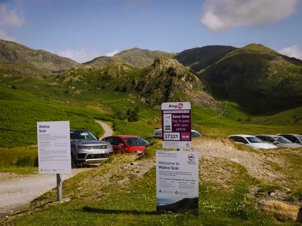
The path starts at the Walna Scar Car Park, which is 1 mile from the village of Coniston.
Coniston is one of the most central villages in the Lake District and can easily be reached by bus or car.
By Car
The village of Coniston is a 22-minute drive from Ambleside, 30 minutes from Grasmere and Windermere, and 50 minutes from Keswick.
From Coniston, a single-lane track winds its way for 1 mile to the Walna Scar Car Park. The road is narrow and steep with not many passing places, but it’s perfectly doable (if a little tricky) in a 2WD car.
There are about 70 parking spaces at the top. The last time we did the walk, we got here at 10 am on a sunny Wednesday in late June and got the last spot.
During the summer school holidays or on nice weekends, try to get here before 9 am. There is an overflow car park in a field next to the car park, but it is not always unlocked. Payment is via the Ringo App, so download the app and create an account before you arrive.
If there are no spaces, you will have to drive back down the single-lane track, park at the Old Station Car Park and walk back up the road (25 minutes).
By Bus
The 505 bus runs roughly every hour between Ambleside and Coniston, and the journey takes 40 minutes. If you are staying in Grasmere, Keswick, Windermere or Bowness, you’ll need to get a bus to Ambleside and change.
There is no bus from Coniston up to the Walna Scar Car Park, so you will have to hike. The 1-mile walk takes about 30 minutes, which you will have to repeat at the end of the hike, turning a medium hike into a slightly more challenging one.
Old Man of Coniston Walking Route Instructions
Coppermines
We left the Walna Scar Car Park and headed north on a wide track that heads between ferns towards an attractive craggy rock (The Bell). After about 20 minutes, we followed the path as it bent left (marked 1 on the Google Map above), turning westwards, and started to climb.
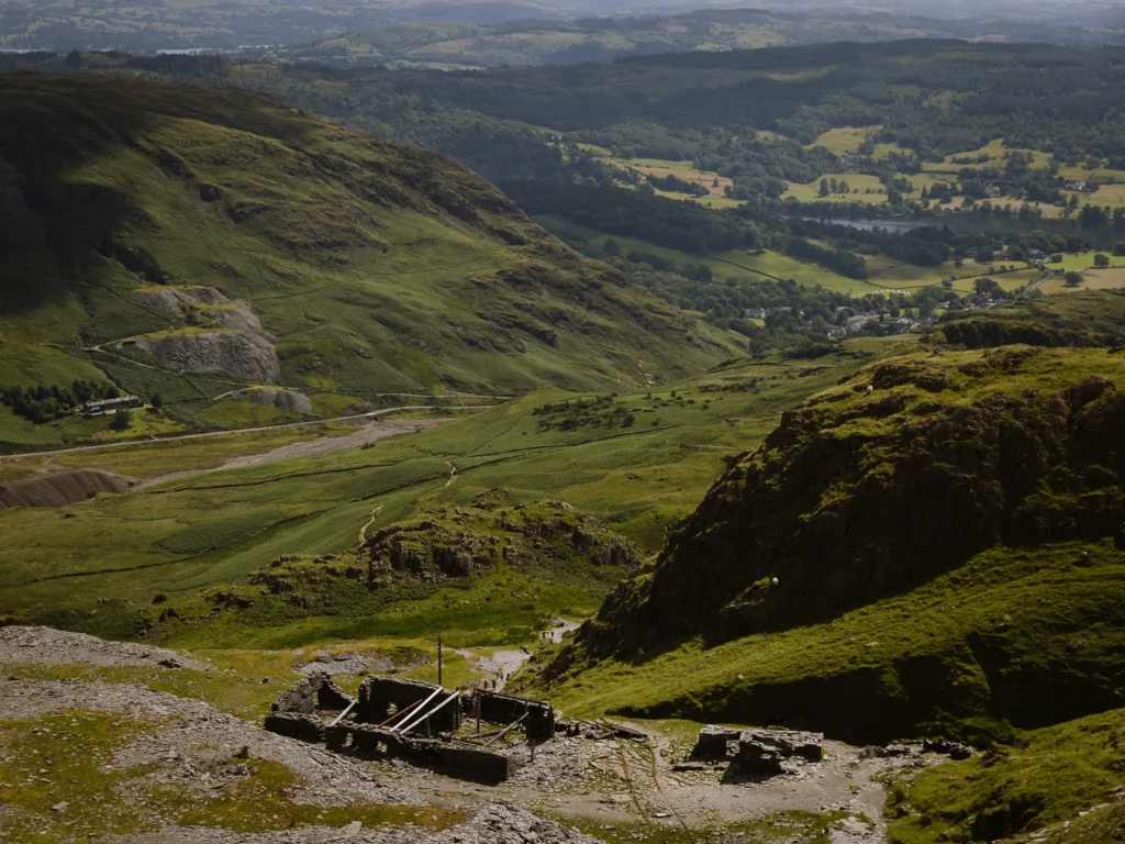
The trail now cuts through the upper reaches of the Coppermine Valley. We found it steep going but also very interesting. This landscape of quiet ruin is dotted with old smelting mills, tramways, and spoil heaps left over from centuries of copper mining.
Below Levers Water Beck carves its way through the wild and scarred valley.
Low Water
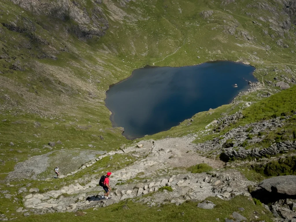
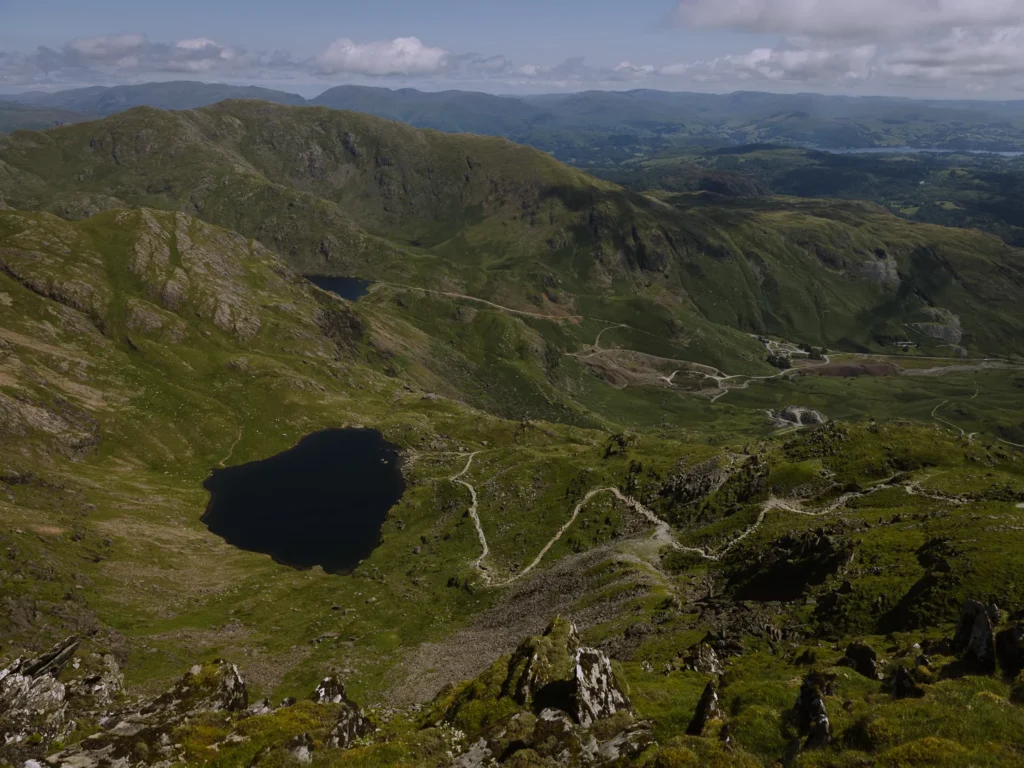
After about an hour, we arrived at Low Water (marked 2 on the Google Map above), a lovely tarn nestled into the northern flank of the Old Man of Coniston. A couple of swimmers were taking a dip, but we decided to plough on to the summit we could see almost vertically above us.
This is where the path is at its steepest as it makes a big zig-zag up the shoulder and then along the top of the shoulder to the summit. The wide trail turns to rock and we needed our hands in a couple of places, but the route was always clear.
About 90 minutes after we left the car park, we were standing on the 2,633-foot-high summit of the Old Man of Coniston.
Old Man of Coniston Summit
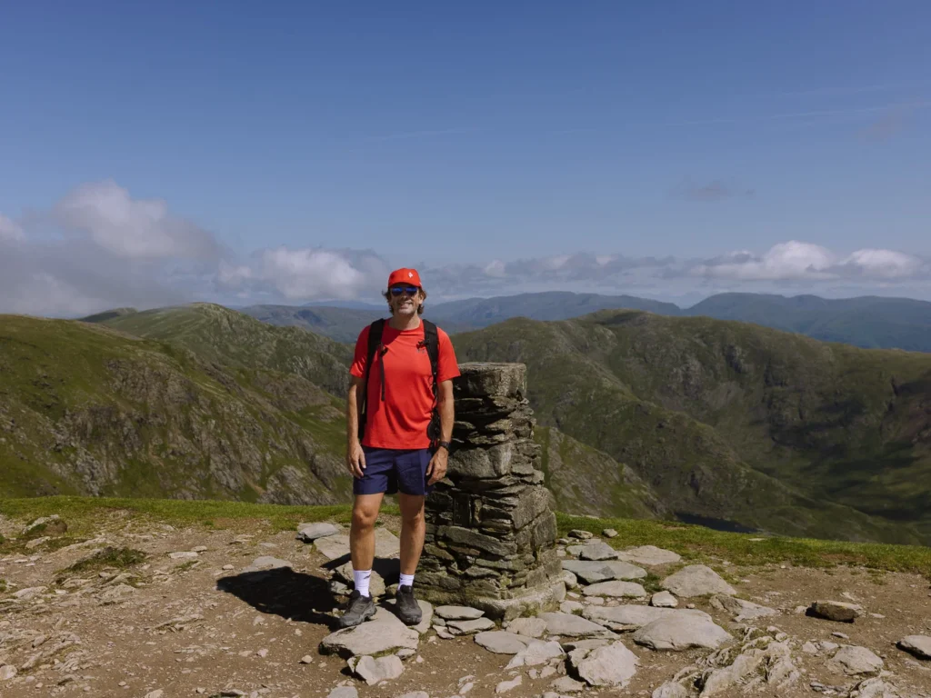
The summit is a large, wide-open space, which comes as a surprise given the steep ascent. It has a large stone cairn made of rock left over from the mines and a stone-built Ordnance Survey trig pillar, both of which make a good spot for a photo.
The highest mountain on the southern edge of the Fells, it offers one of the widest and most expansive views in the Lake District.
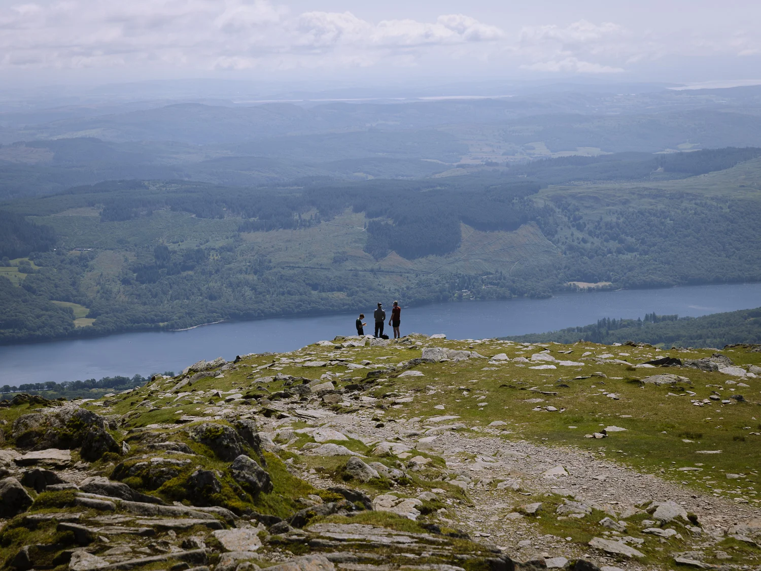
We were lucky with the weather and had great views south to Morecambe Bay, east to Coniston Water, north to Swirl How, Wetherlam and the Scafell Range, and west to the impressive crag face of Dow Crag – one of the most dramatic mountain facades in the Lake District.
We took it all in, grabbed a drink of water and a protein bar and, having made good progress, decided to press on and leave lunch for the next summit.
Dow Crag, Buck Pike & Brown Pike
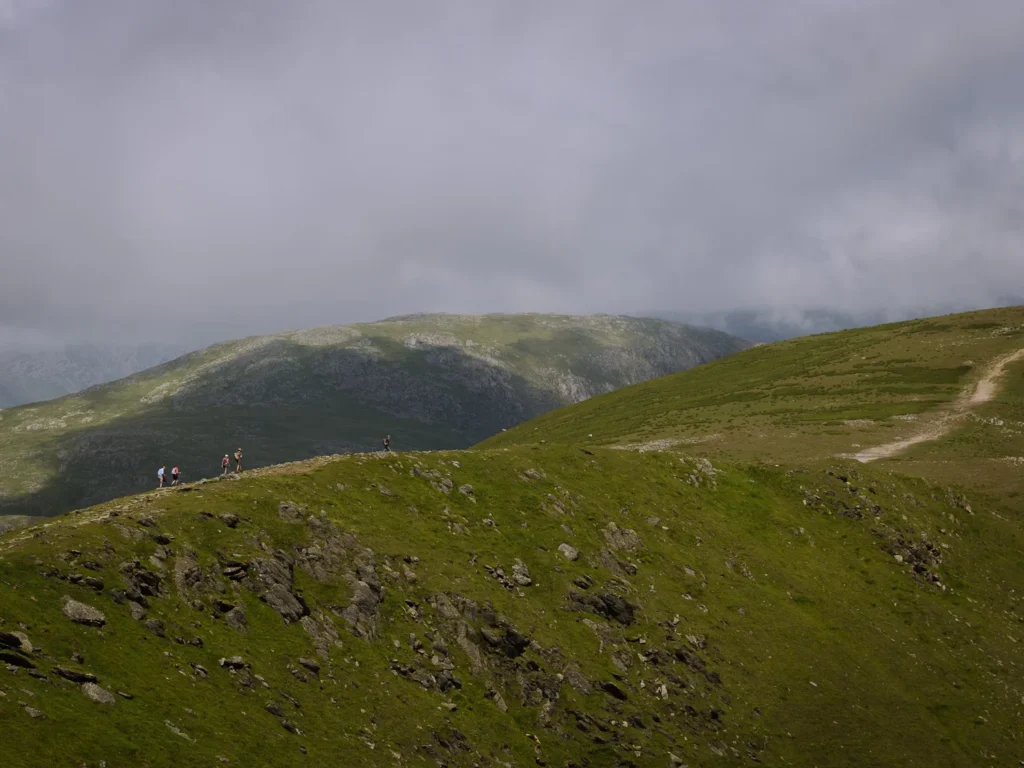
We followed the path that leads northwest from the summit. It soon split, and ignoring the right fork that heads along the ridge to Swirl How, we kept left and descended through a mix of grass and rock to the Goat’s Hawse (marker 5 on the Google Map above).
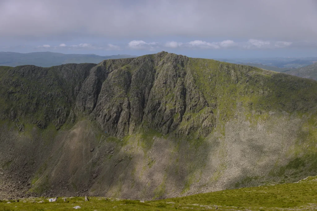
We love the view from here. The eastern face of Dow Crag is a huge buttress of near-vertical rock towering above Goat’s Water, seemingly miles below.
If the cloud has come in, you may want to turn left here and descend via Goat’s Water and Walna Scar Road back to the Walna Scar Car Park (marked in orange on the Google Map above). Fortunately, we had great weather and clear skies, so we continued westwards and then southwestwards to the summit of Dow Crag.
The path was a little indistinct at times. There are cairns. but we found them a little tricky to spot so were pleased we could keep checking our offline map. There is a very steep drop on your left so be careful not to get too close.
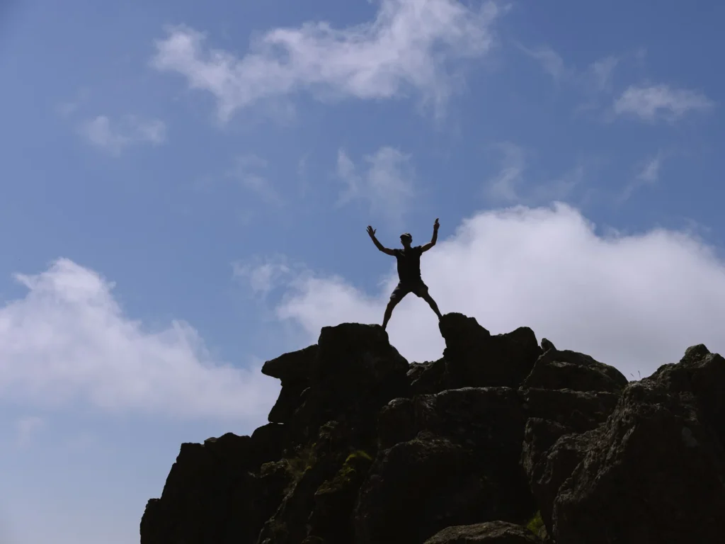
The summit of Dow Crag is just as rocky as its facade suggests, and to get ‘right’ to the top involves a bit of scrambling. But there is no need; the view from a few metres down is just as good.
We grabbed lunch, spending the first half looking north at the Scafell Pike range and the second half peering southwards over Morecambe Bay and the southern Lakes.
After lunch, we headed south along an easy ridge across the summits of Buck Pike and then Brown Pike.
Walna Scar & Banishead Quarry
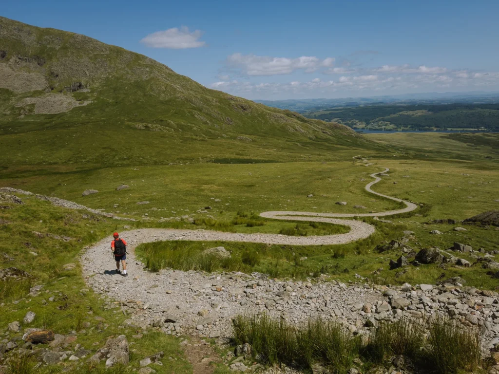
From the summit of Brown Pike, a rocky trail now descends to a crossroads of paths. We turned left and joined the Walna Scar Road (marker 4 on the Google Map above). This car-wide track is not the prettiest, and there is loose rubble underfoot, but it makes for a very gradual and easy descent.
You could follow this road all the way back to the car, but we think it’s worth making the detour to Banishead Quarry.
To take the detour, follow the Walna Scar Road, continuing past a sign saying ‘Torver 2 miles’ and crossing over a stream. A couple of minutes further on, after crossing a second stream, turn immediately right (marker 5 on the Google Map above), and follow a narrow grass trail cutting through the ferns.
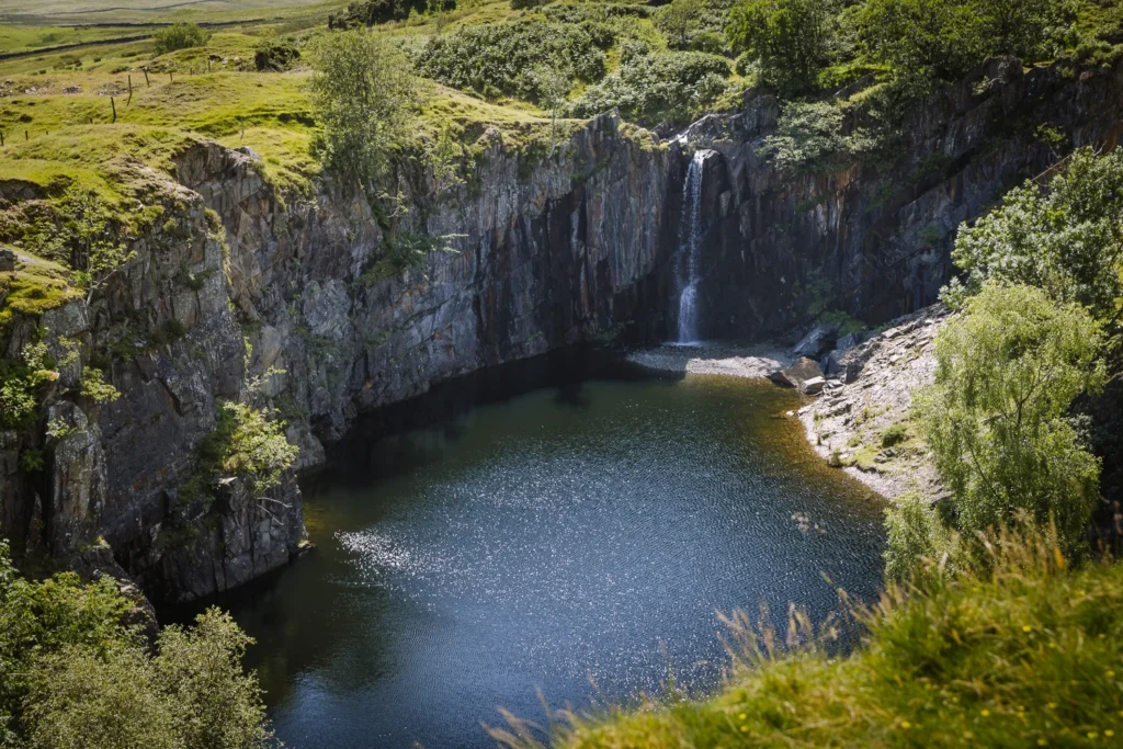
This path heads downhill, with Torver Beck on your right, until it reaches Banishead Quarry. The quarry is an old working pit that has been flooded. A dramatic waterfall thunders into the man-made pool below, but what makes it special is the striking contrast between the turquoise-green water and the vertical grey slate walls.
You may be tempted to wild swim here, but we do not recommend it. The pool is fenced off (although there is a break in the fencing), the water is incredibly cold, and there are old mining works underneath the water.
You can head back to the Walna Scar Road the way you came, but there’s a quicker route. We took the grassy trail north and then northeastwards, which joins up with the Walna Scar Road further along.
From here, it’s just a short walk back to the car park and a 1-mile drive (or walk) back into Coniston and a well-earned pint.
Where to Stay in Coniston
The Old Man of Coniston sits above the village of Coniston on the edge of Coniston Water. It’s central location makes it one of our favourite areas to stay in the Lake District.
Below are some specific suggestions near the beginning of this walk.
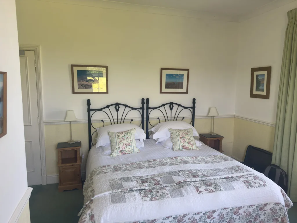
The Crown Inn – This is our go-to pub in Coniston. The outdoor seating, set back from the main road, is a quiet place for a pint after a long walk, and the rooms are smart and cosy yet still a good size. All the facilities of Coniston are on your doorstep.
The Old Rectory – We love this atmospheric B&B on the edge of Torver. The rooms are big and bright with large windows. The breakfast is excellent, with a choice of full English, porridge and more. Best of all, you are welcomed with a pot of tea and homemade cakes served in the garden. Go for the ginger, if it’s on offer.
The Apartments Coniston – Right in the centre of Coniston, these one- or two-bedroom apartments are ideal for small families or those looking for their own kitchen. Coniston Water is a 15-minute walk in one direction, and the village is 5 minutes in the other.
Old Miners Cottage – This cottage in Coniston is an old miner’s house made of local slate. It has fantastic views over Coniston Water, and the village facilities are just a short walk away.
More Lake District Walking Guides
- Check out all our favourite walks in the Lake District
- Find the best areas to stay for your hiking trip.
- Choose from the 5 different routes up Scafell Pike
- Or pick the best and hike Scafell Pike via the Corridor Route
- For a quicker option, take the easy route up Scafell Pike
- Test yourself by scrambling Helvellyn via Striding Edge
- For a more challenging scramble try Blencathra via Sharp Edge
- Our favourite walking route up the Langdale Pikes.
- Want more than a day hike? Try our 3-5 day Lake District hike
- For remote scrambling and hiking, choose Wasdale Head.

reader-supported
When you buy through links on our site, we may earn a small affiliate commission at no extra cost to you.
Thanks for your support // Paul & Mark